

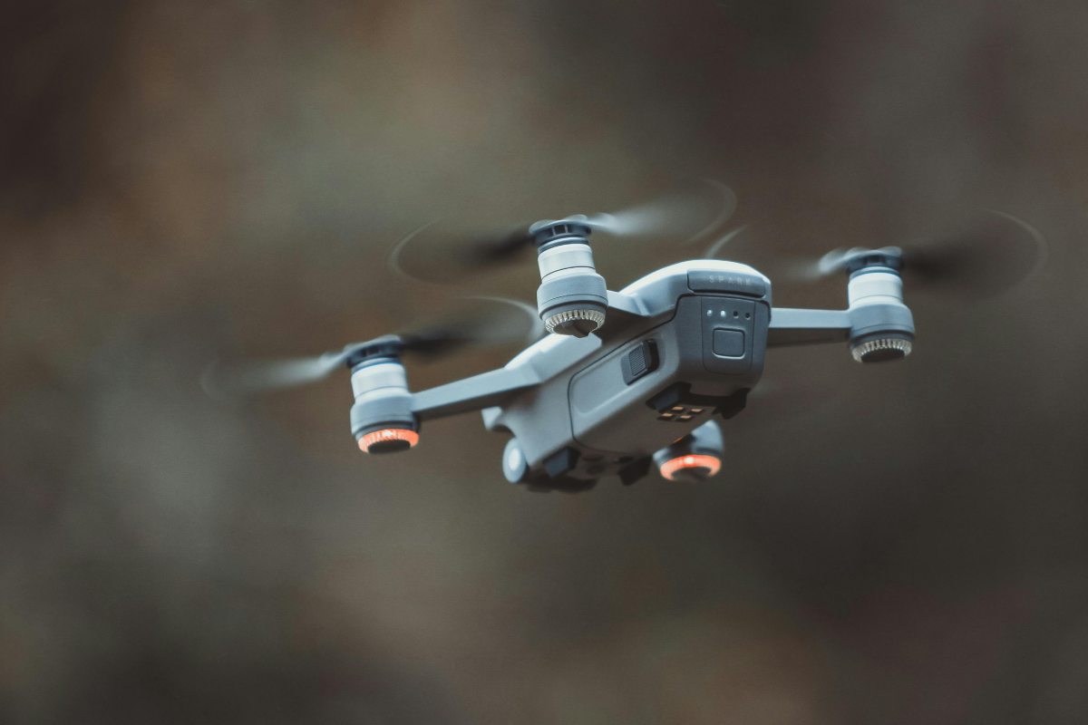
Drone Services For Full Coverage
Explore our range of high-resolution aerial solutions for construction and real estate.
High-Resolution Drone Imagery & Insights
Elevate your construction and real estate projects with Eko Guide's professional drone services. We deliver high-resolution imagery and detailed mapping, providing the insights you need to manage every stage from initial inspections to final documentation.
Diverse Drone Services for Every Industry
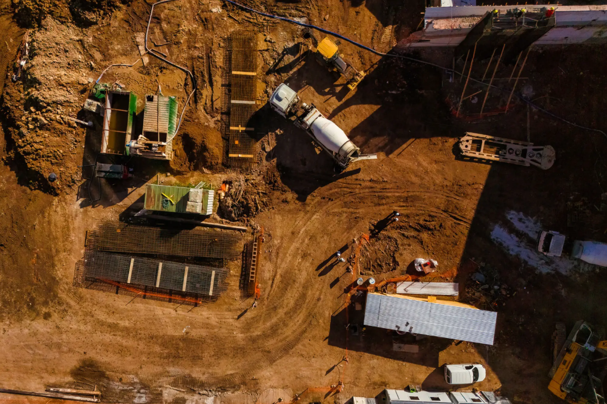
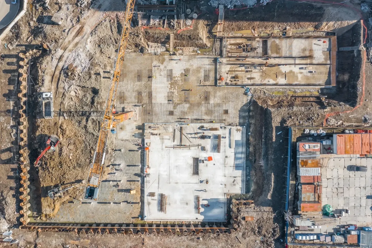
Construction
Our drone services provide high-resolution imagery, detailed mapping, and comprehensive progress documentation for all stages of your construction project. Each flight captures accurate visuals that help you monitor site conditions, verify progress, and inspect hard-to-reach areas safely. We also offer time-lapse footage that showcases the entire construction process, perfect for client presentations, investor updates, and promotional materials.
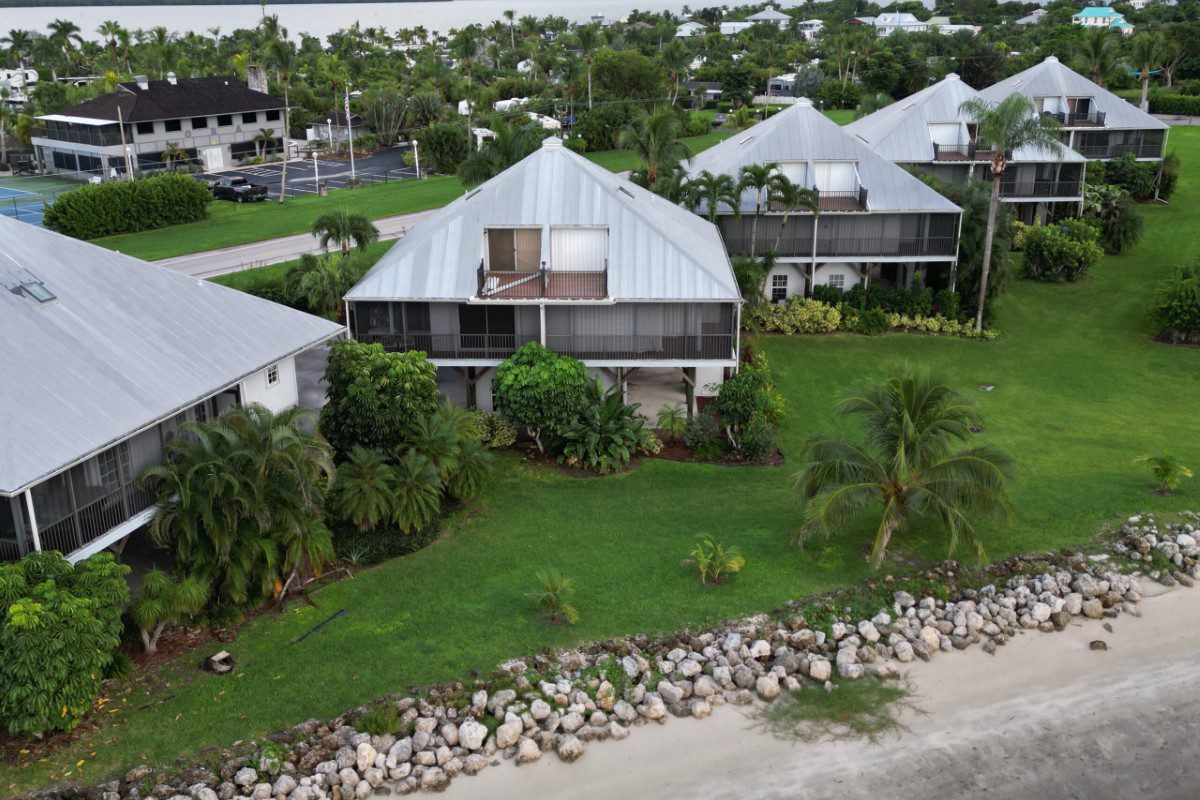
Real Estate
- High-Quality Visuals: Showcase properties with stunning aerial photos and videos that provide a unique perspective.
- Faster Sales: Attract more potential buyers and generate leads with visually captivating content.
- Enhanced Listings: Highlight unique property features and panoramic views to stand out from the competition.

Inspections
- Roofing: Our drones capture high-resolution images and data for thorough roof assessments.
- Solar & 5G: We inspect solar panels and 5G equipment for damage, alignment, and secure placement.
- Infrastructure: We provide aerial inspections of bridges, towers, pipelines, and utility structures to detect issues early.
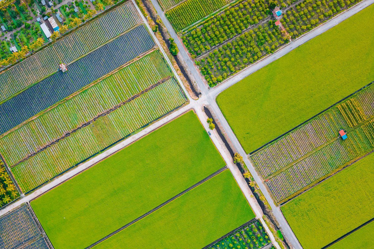
Agriculture
Gain a clear visual overview of your fields with drone-captured photos and videos. Monitor crop growth, spot irrigation issues or pests, and document your land from above to support effective farm management.
Agriculture
Gain a clear visual overview of your fields with drone-captured photos and videos. Monitor crop growth, spot irrigation issues or pests, and document your land from above to support effective farm management.

Drone Light Shows
Create an unforgettable experience with a custom drone light show. We blend art, technology, and creativity to produce vibrant patterns, logos, and animations in the sky. We handle the entire process, from choreography to FAA approvals, ensuring a safe and visually stunning show for any event.
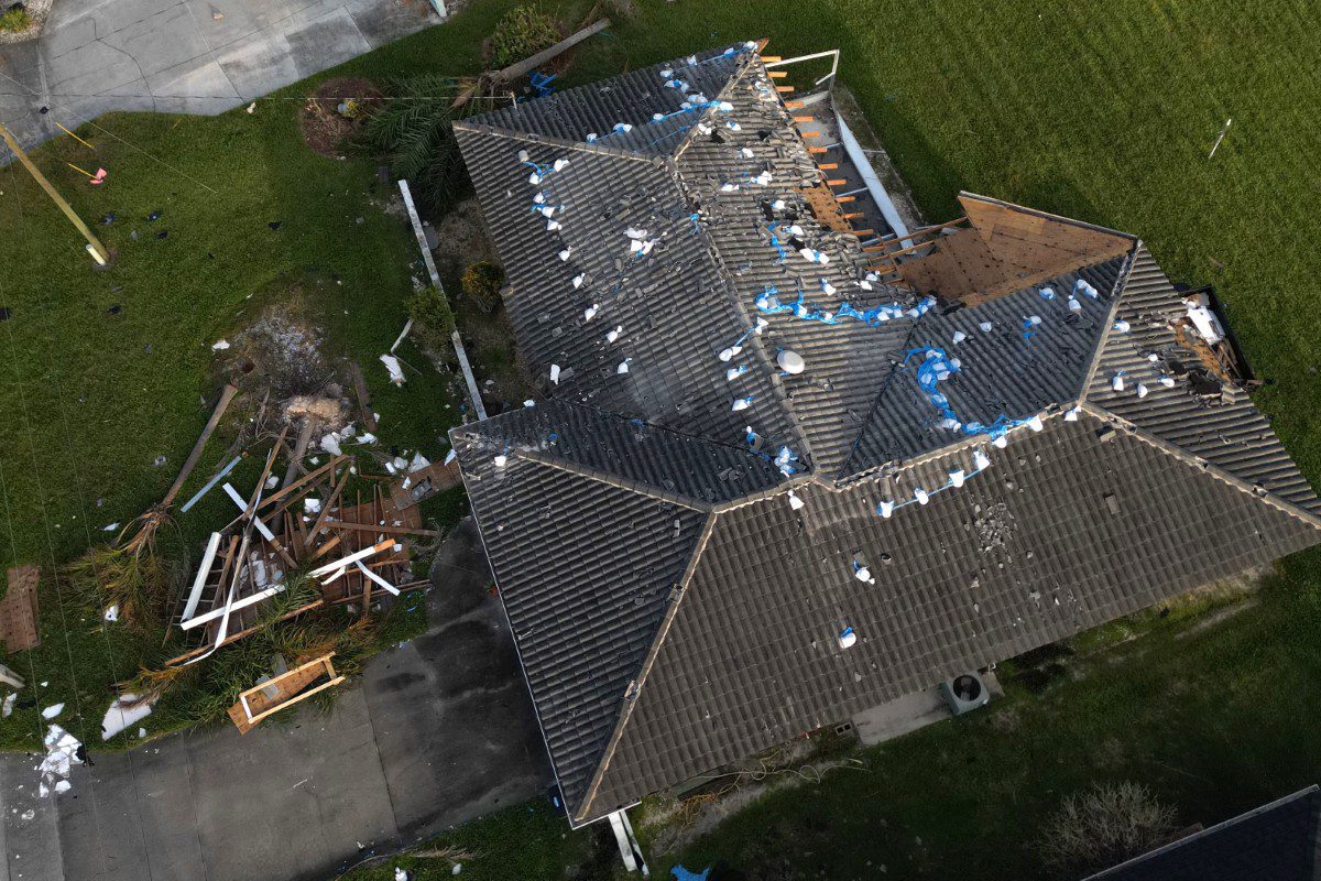
Post-Disaster Assessments
When severe weather strikes, our drones provide rapid, high-resolution aerial photos and videos to safely document property and infrastructure damage. We deliver clear visuals to assist with insurance claims, emergency response, and repair planning.
Partner with the Experts
Eko Guide is here to help. Don’t hesitate to reach out and discover how our expertise can transform your approach to aerial documentation and inspection. Let’s soar to new heights together!